Hikes Near the Valley & Santa Monica Mountains
Hikes Near the Valley & Santa Monica Mountains
Veronica Lopez
This map contains all of my favorite hikes near the Valley & in the Santa Monica Mountains. Everytime. I do another hike worth noting, I'll update this map, so unlock it now, and you'll get all my future updates!
Each hike contains specific info about what to expect as well as coordinates and trail maps.
Updated ago
13
Share

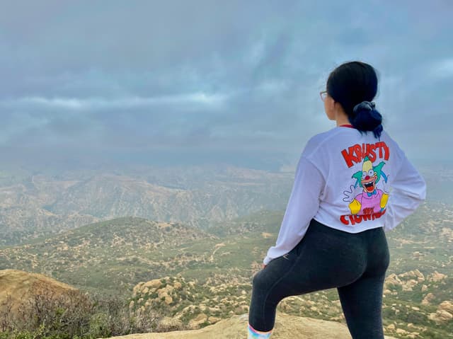
Rocky Peak Trailhead
@Exploringwithvee
This trail has very limited parking, so I recommend getting here early. If you can't find parking, you can park further down the road, but that will make your hike a lot longer.
It's not a very long hike but it's a good workout. It's good for sunrise with a really good 360 view. A lot of people do this hike early at sunrise.
It's easy to get to from LA, you can take the highway all the way there, and the trailhead is right by the exit.
Add to
Details
Calabasas Peak
@Exploringwithvee
This is a good short trail. I've done it for sunrise. There's a little military box at the top with notebooks inside that you can sign. The trail is a bit overgrown. I didn't see anybody on the trail when I did it at sunrise. It's a local spot and it's pretty easy.
Add to
Details
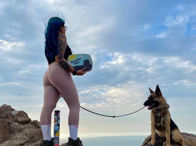
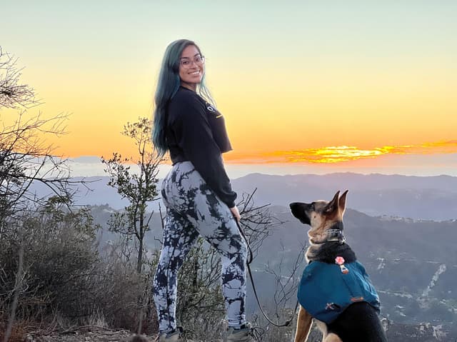
Sandstone Peak
@Exploringwithvee
This is a really cool hike. If you don't want to do the whole loop, you can make it really short and just go straight to the peak.
It's a good sunrise or sunset hike. There's a sign at the top that you can take a photo with. I like taking beginner hikers on this trail because it has a little incline which presents a challenge, but it's short.
Sometimes you can get cloud inversions at the top.
Add to
Details
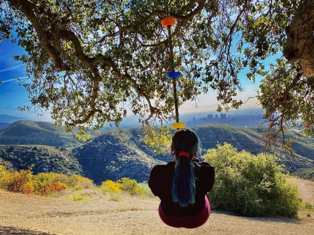
Canyonback Tree Swing
@Exploringwithvee
This trail is really cool. It's a short hike, but it's pretty steep. I'm not sure if the main swing is still there, but I know that the bench swing is still there. It's a really cool hike for pictures.
Add to
Details
Vanalden Cave Trail
@Exploringwithvee
You can do this hike from two different ways. The AllTrails version is about 3 miles. It's a pretty easy hike but it can get a little bit overgrown. Make sure you follow the map and download it ahead of time if you can because sometimes the phone signal is spotty.
You can climb on top of the cave or go inside. The cave isn't too big, but it's a cool photo spot.
Add to
Details
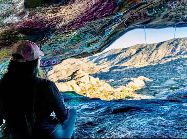
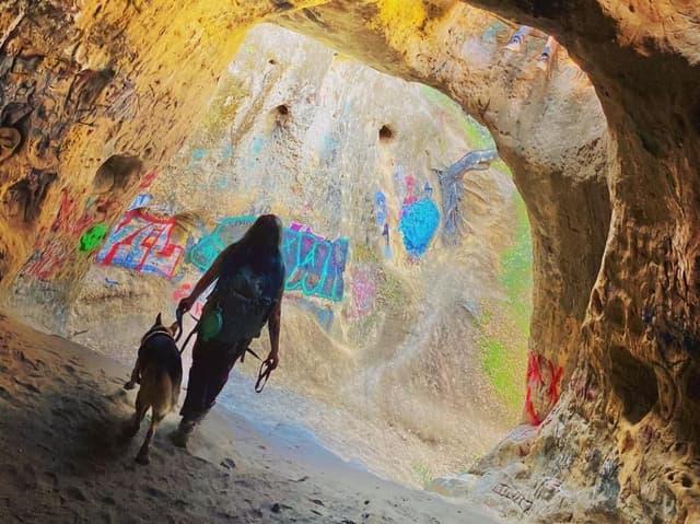
Hummingbird Trail
@Exploringwithvee
This hike is pretty popular. Sometimes there's a swing and there's always hammocks in the cave. There's a lot of cool grafitti in the cave as well.
I recommend downloading the AllTrails map ahead of time because it can be hard to find the trail & there phone service is spotty.
Going up the trail is pretty steep and can be difficult, but it's definitely worth it. If you're afraid of heights, it might feel kind of sketchy. There are wires that are anchored to help you get down.
Add to
Details
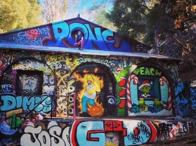
Murphy Ranch trail
@Exploringwithvee
This hike doesn't have any parking, so you'll have to park on the street. Make sure that you follow the signs and only park legally.
There are some interesting building ruins with grafitti to check out. You can take a lot of cool pictures. The hike is mostly shaded except at the beginning. It's a pretty straightforward trail.
Add to
Details
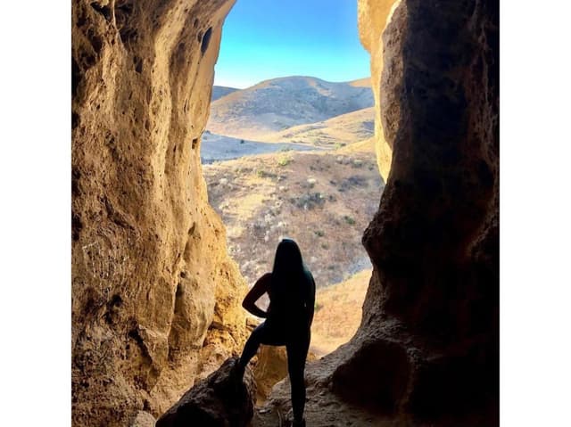
Cave of Munits
@Exploringwithvee
The parking for this trail is just street parking. I recommend getting here early because sometimes it's hard to find parking. I recommend downloading the AllTrails map ahead of time because it can get a little bit confusing. You can't see the cave until you get to it.
There is a small climb to get up into the cave. Sometimes there is a rope to help you. It's pretty easy to get up to it though. From the big cave where most people take photos, you can continue climbing up to some smaller caves.
Add to
Details
* * *
ABOUT THE AUTHOR
Veronica Lopez
Send A Tip
Support Veronica Lopez’s work.
Select your tip amount
$5
$10
$20
$50
Or type in other amount
Read more about places in this guide
Powered by Thatch
The home for unique & authentic travel
The home for unique & authentic travel
Powered by Thatch: Where great trips are made.
© Veronica Lopez 2024 • Help • Privacy • Terms • Copyright • Become a Seller • Seller Academy • About • Careers • Blog • Explore Places