Laki
About Laki
Get the inside scoop on Laki from local experts, travel creators, and tastemakers. Browse genuine trip notes, Laki reviews, photos, travel guides, and itineraries from real travelers and plan your trip with confidence.
What people say
Leo Scarton
Available for hire
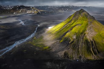
"Laki or Lakagígar (Craters of Laki) is a volcanic fissure in the south of Iceland, not far from the canyon of Eldgjá and the small village of Kirkjubæjarklaustur. Lakagígar is the correct name, as Laki mountain itself did not erupt, as fissures opened up on each side of it. Lakagígar is part of a volcanic system centered on the volcano Grímsvötn and including the volcano Thordarhyrna.[1][2][3] It lies between the glaciers of Mýrdalsjökull and Vatnajökull, in an area of fissures that run in a southwest to northeast direction. The system erupted violently over an eight-month period between June 1783 and February 1784 from the Laki fissure and the adjoining volcano Grímsvötn, pouring out an estimated 42 billion tons 14 km3 (3.4 cu mi) of basalt lava and clouds of poisonous hydrofluoric acid and sulfur dioxide compounds that contaminated the soil, leading to the death of over 50% of Iceland's livestock population, and the destruction of the vast majority of all crops. This led to a famine which then killed approximately 25% of the island's human population.[4] The lava flows also destroyed 20 villages. The Laki eruption and its aftermath caused a drop in global temperatures, as 120 million tons of sulfur dioxide was spewed into the Northern Hemisphere. This caused crop failures in Europe and may have caused droughts in North Africa and India."
Read more in:
Joey Helms
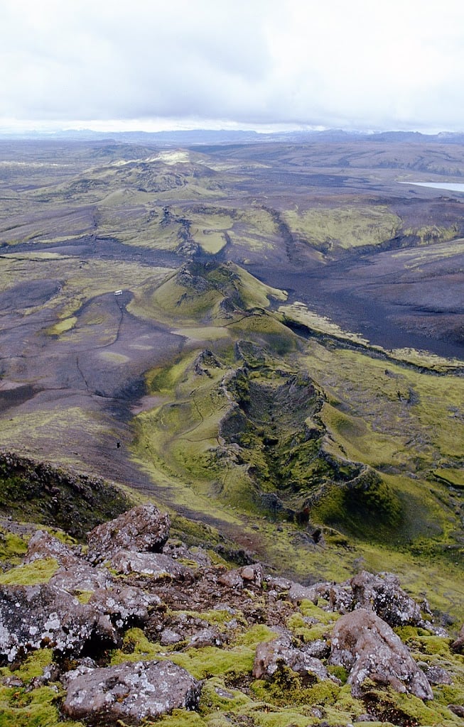
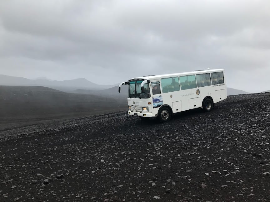
"Possibly one of the most remote and loneliest spots on the list but remarkably impressive is the spot of the Laki fissure eruption. Crossing a few rivers and driving on the bumpy F206 is worth it as a little loop of that gravel road takes you through the magnificent location where in 1783 one the largest fissure eruption caused the death of many Icelanders and it is said that the ash cloud cause famine in mainland Europe, triggering the French Revolution.
PHOTO TIPS
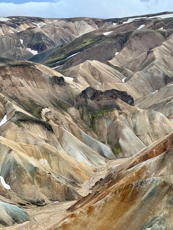
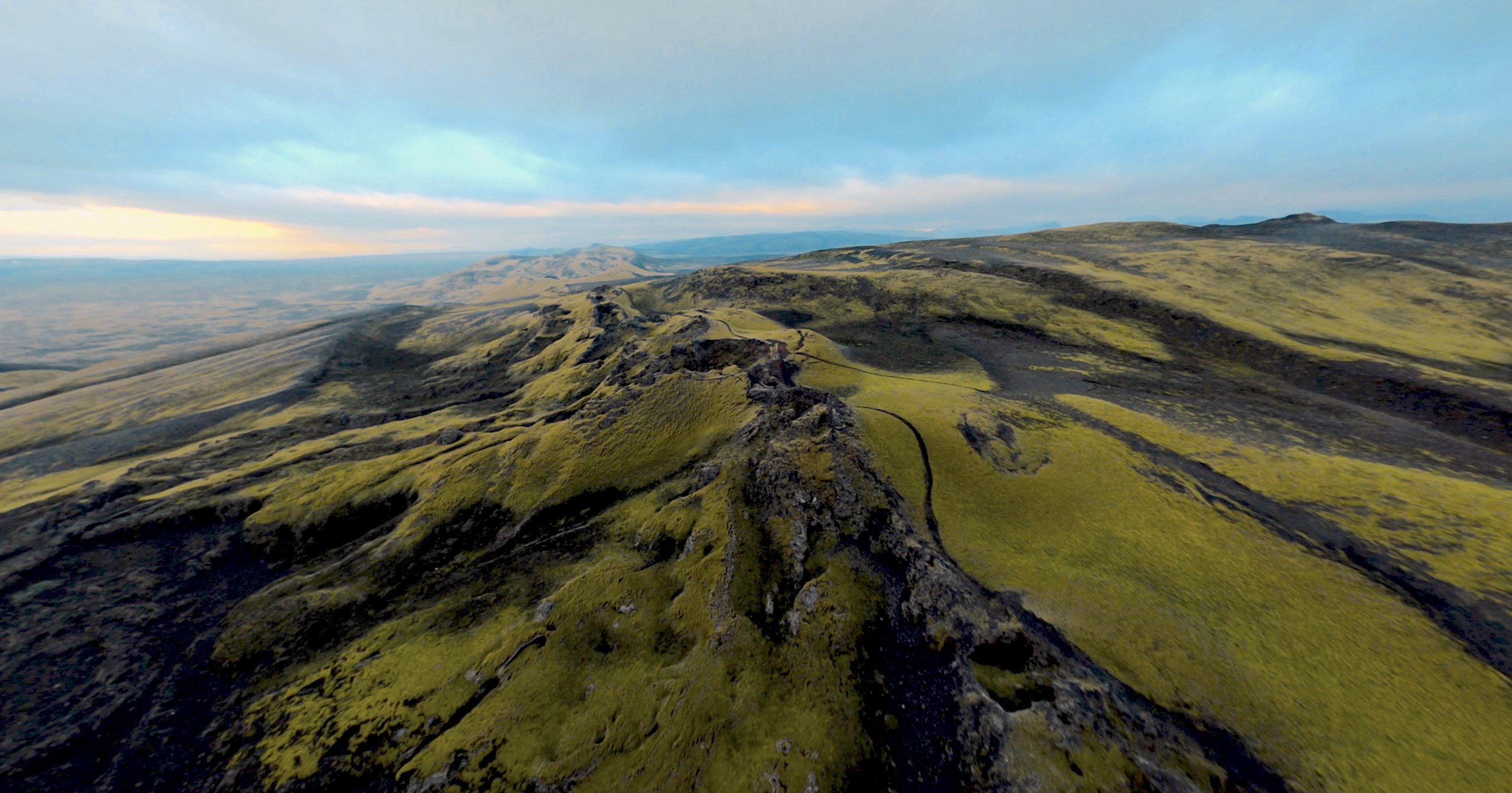
Hike up the Laki main crater to get a view of the smaller craters that perfectly line up in both directions of the main crater. Capture the line where the earth opened up and now left a string of little, moss-covered craters. Light is key here again and most likely you will find yourself here on an overcast day. Make the most of it and play with the mystery and drama that both landscape and weather present to you. "
Read more in:
Dan Landa
Available for hire
"On the way to your next stop, continue on F206 until you reach 'Laki's Loop.' The junction of F206 with F207, we recommend turning right (east) because this way is somewhat easier and faster."
Read more in: