This is a backpacking guide for hiking the island of Madeira, Portugal in 8-10 days. The island, located 1000 kilometers from Portugal in the Atlantic ocean, is often referred to as the Hawaii of Europe with its rough interior mountains and steep cliffs.
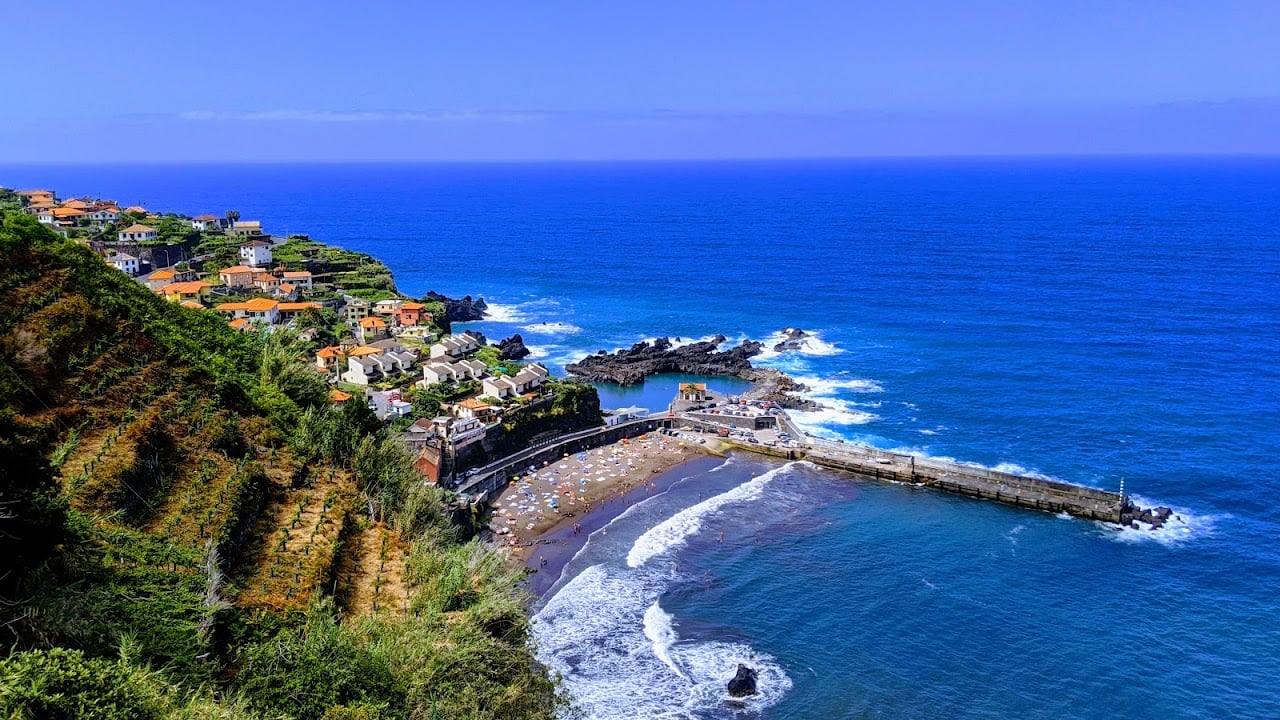
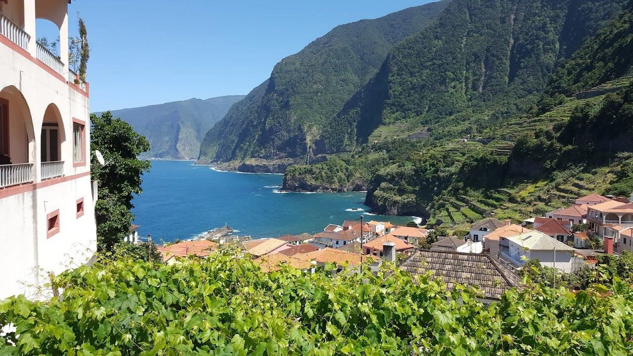
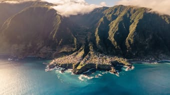
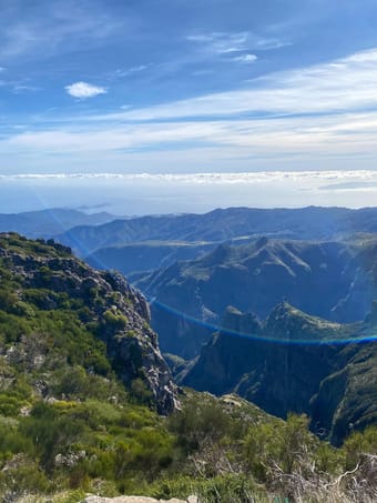
The route includes all the highlights of the island including all it's types of flora: from the wet coastal forests in the north, the magical Fanal forest up the plateau, some of the tallest waterfalls, the tallest peaks and the rough coastal cliffs.
The hike passes through dense rain forests, across the arid peaks and through several tunnels of the island famous water canals (levadas).
What this guide includes:
- Itinerary with flexible route for different lengths and difficulty, distances, best overnight (camping) options and other useful waypoints;
- custom Google Maps with all the important locations (official campsites, grocery stores, overnight options, water sources, trails and viewpoints);
- gpx-tracks of all the stages.
- all the practical information: how to get there, when to go, trail conditions, weather, geography and more.
Get an impression of the hike on YouTube/harmenhoek.
Note, this route is not the Madeira Island Ultra Trail (MIUT), but one optimized for hiking.
Backpackers • Adventure • Camping • Mountain • Nature